If you are looking for a great navigation aid then I can highly recommend ViewRanger. It’s now used by a host of mountain rescue organisations not only in the UK but in France, Switzerland and Norway.
Prior to ViewRanger
I grew up with paper maps and a Silva compass and relied on these for many years in Scotland in the foulest of conditions. So I was a bit of a ?Luddite?. Indeed there’s nothing to ?go wrong? with map and compass. So apart from dropping them, breaking them or them being blown away in a Scottish blizzard they are reliable and you can always carry a spare!
The first bit of ?technical? aid I acquired was a Thommen analogue altimeter in more recent years replaced by a Suunto Vector watch with altimeter. My first GPS was a Garmin Etrex Vista bought for use in Kosovo and Sudan. More recently I bought a Garmin Oregon 650 with a touch screen. The latter was bought with a view to avoid needing to put on reading glasses to look at my map; the joys of age! I’ve found this need to get out the glasses creates an ?inertia? to checking the map, not good!
In the last year or so I’ve gradually become a convert to ViewRanger. ViewRanger is the product of Augmentra Ltd, a company based in the United Kingdom, find out more here. http://www.viewranger.com/en-gb/about-us/company-history
There’s a short ?learning curve? to familiarise yourself with the app on your phone and ViewRanger website. However, in my opinion it’s worth it.
Advantages over a stand-alone GPS
- You probably already carry your smart-phone with you so using the capacity of the inbuilt GPS means not having to carry another device.
- Saves on bulk, weight
- No extra batteries to carry or other types of battery.
- Large screen – most stand-alone GPS devices designed for walking or hiking are comparatively small compared to smart-phones.
- Quality of the mapping usually outstrips that found on GPS i.e. Garmin’s French mapping is an adapted version of the IGN and in my view not as good.
Technical
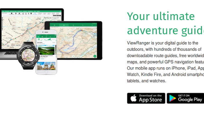
The ViewRanger application works is available for Iphone and Android and the application itself is free to download.
ViewRanger works off-line as it just uses the telephones GPS. You do not need a data connection.
Mapping
ViewRanger has an excellent range of mapping available. The options currently available are:
Premium Mapping
There’s a good range of quality mapping available to buy as ?Premium? mapping. This includes UK Ordnance Survey and French IGN mapping (inc. 1:25 000). You can see what’s available at the ViewRanger Shop. https://shop.ViewRanger.com/
Free mapping
If you don’t need highly detailed professional mapping you can make use of a range of free mapping.
ViewRanger Landscape based on OpenStreetMap, OpenCycleMap, Ski Map, Satellite Imagery, OpenStreetMap, Transport Map
Self-Select Mapping
This allows you to create your own custom areas of ?Premium? mapping by selecting the area you need through ViewRanger’s downloadable Map Chooser tool.
Map Tiles via the App.
For small areas you can download individual map tiles. You can even do this ?on the spot? if you have a mobile data connection and sufficient ?credits? on your ViewRanger account. If you just occasionally find yourself in a new area ?tiles? allow you to just buy what you need for that trip rather than having to buy a complete area.
Worth Being Aware of
Phone Battery Life
On my Iphone I’ve managed a full day out using ViewRanger. It’s worth disabling unnecessary background applications and enabling ?Power Save? options. Reducing screen brightness can also help. For extended trips it’s worth considering a battery top up device.
Weather proofing
If you’re going to use your phone then it needs to be able to withstand whatever weather you encounter. I personally use a LifeProof case for my phone that is completely waterproof and still allows me to operate the phone.
Safety Back Up
Even if I’m using ViewRanger I always carry a paper map in my sac, just in case.
Planning at Home
In the MyViewRanger section of the website you can carry out a range of tasks at home on your desktop, laptop or tablet and then synchronise them with your phone. Amongst other things you can:
- Create tracks
- See tracks that you’ve recorded when out on the ground
- Export routes you create on ViewRanger as .GPX files that you can then import to other ?standalone? GPS devices including Garmin.
?Buddy Beacon?
Share your location with those back home using ?Buddy Beacon? giving them real-time access to your position. A great safety and peace-of-mind feature.
My Verdict
ViewRanger has become my GPS solution of choice with the availability of great mapping.